In our home, in the office and even in the air, we can continuously engage with the online world on planet Earth as well as checking out the latest developments on the International Space Station in real-time.
But this familiar connected world vanishes from our screens when we go just a few hundred metres out to sea as anyone in the supply-chain will testify. While we might expect there to be no phone signal at sea, that’s not the only problem those responsible for cargo transport face. Mobile phone signals disappear in rural locations on land too. And it’s not just the wilds of Scotland or the forests of Bavaria that are off grid: Mobile signal is unreliable, and unpredictable, across huge swathes of Europe.
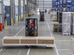
This poses a big challenge for anyone whose success depends on optimising the supply chains for freight of all kinds. When so many people depend on the delivery of up to date information to plan their businesses, the pressure is on to accurately track precious cargo whether it’s being conveyed by sea, rail or road.
Fortunately mobile satellite communications have undergone a huge transformation in recent years. The cost of both devices and airtime has fallen, while new solutions are coming onto the market making it easy to turn data into useful business intelligence.
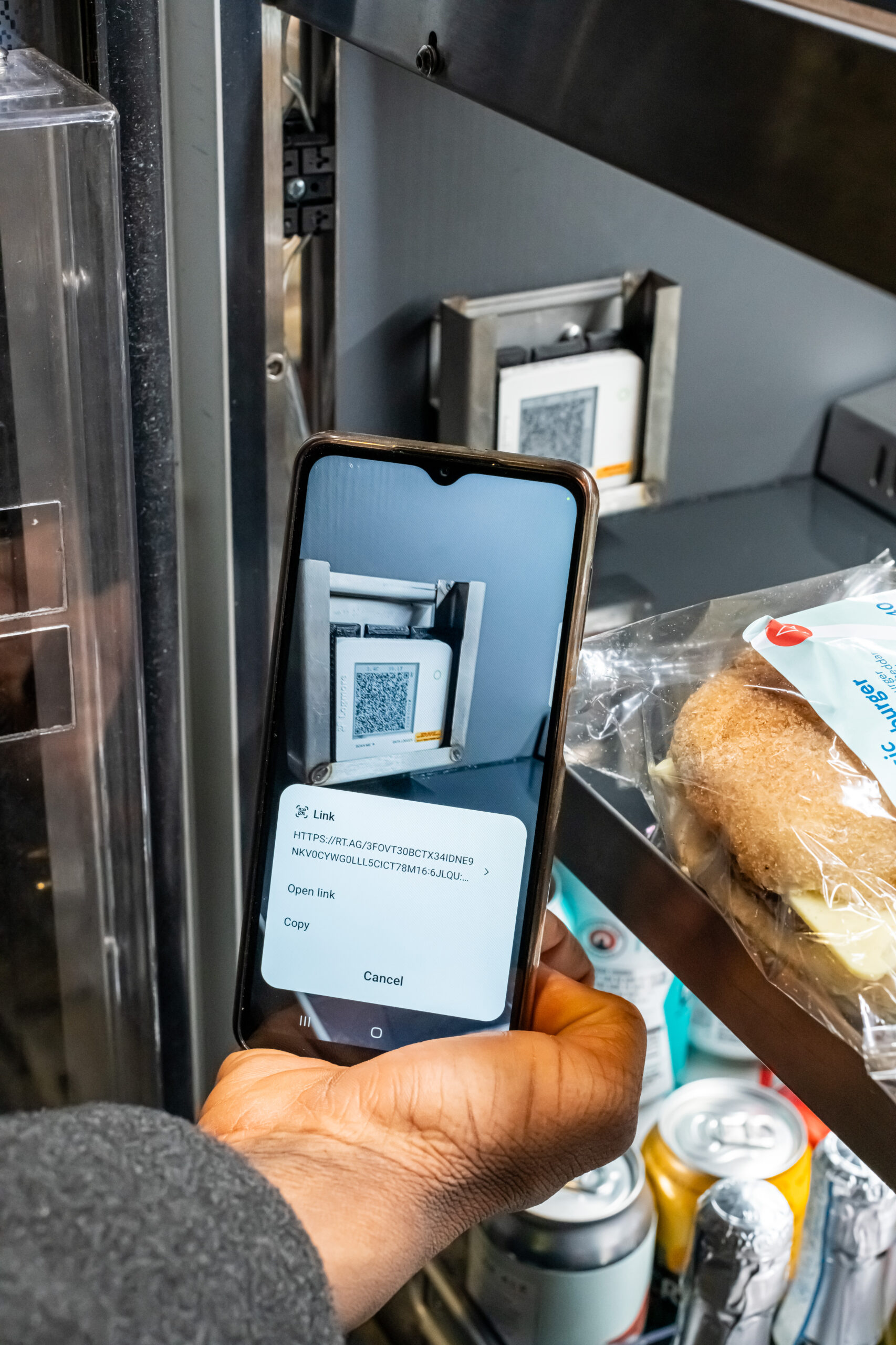
Using small, low cost, one-way communications devices, details about a vessel’s progress and local conditions that impact the journey, such as wind strength and wave height, can be automatically transmitted at regular intervals.
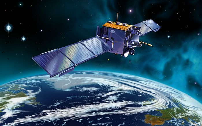
For example, Jakota Cruise Systems’ FleetMon solution uses Globalstar’s second generation global satellite network to provide accurate tracking on many hundreds of sea-faring ships.
Every day, cargo is shipped across the world’s most dangerous seas – with serious risks including treacherous climate and weather, mechanical failure and, sadly, the ill-intentions of criminals. In these challenging scenarios, satellite communications mitigate some of the risks involved in piracy and theft as well as keeping logistics managers abreast of the latest conditions without requiring on-ship support. The data accrued also yield useful information for ensuring service level agreements are met.
By analysing data sent from a small device on each ship, the FleetMon software improves decision-making. As well as helping plan cargo deliveries, precise predictions about arrival times help to optimise crew scheduling and booking in ship maintenance to maximise efficiency and minimise downtime.
For some logistics managers, the cargo they are charged to safeguard includes hazardous materials. These need an intense level of management to ensure the safety of other people on the road or rail network and the general public. Here, satellite communications can play a big role too.
One example of a solution for this area is Ovinto Sat, a product that lets chemical, oil and gas companies monitor hazardous materials in rail tank cars and tank containers. It has the highest level ATEX certification – proving it is safe and non-explosive even when in direct contact with the most explosive materials.
Ovinto Sat provides logistics managers with intelligence that minimises the risks associated with the transportation of cargo while optimising their supply chain operations.
The solution provides details about whether a container has been impacted due to a crash, is leaking, is at the right pressure and temperature and is in the correct location. Satellite is the preferred option for such communications due to its availability, reliability and low power consumption compared to GSM.
By using the Globalsar’s low Earth orbiting satellite network, Ovinto Sat can send encrypted data to those who need it even when containers are stacked. And the large number of satellites in the Globalstar network means the signal from the Ovinto Sat unit only needs access to a small bit of sky to make a connection, and the technology keeps working even in extreme weather conditions.
 Thanks to the falling cost of satellite communications, the emergence of small, powerful devices, and well as the detailed information and analysis that Big Data makes available, there’s now no reason to lose contact with your cargo.
Gavan Murphy
Author Profile
Gavan Murphy has held the position of Director of Marketing at Globalstar Europe Satellite Services Ltd since 2008. Prior to joining Globalstar, Gavan held a series of senior roles in business development, sales and marketing operations at start-ups and large corporations in the telecoms sector. He is a graduate of the University College Dublin, Michael Smurfit Graduate School of Business in Ireland.